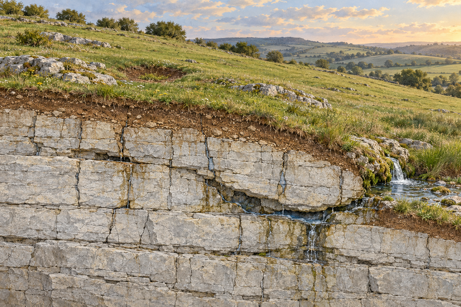
A field can have a perfectly ordinary surface and a complicated drainage system beneath it. At Crumps Cave in Kentucky, researchers traced water from a cultivated field to a waterfall emerging from the cave ceiling roughly 25 metres below ground. The route did not run straight down. Water also travelled about 200 metres sideways along sloping limestone beds before reaching the fall. The dye connection makes the unseen route more than a plausible drawing; it identifies where water from that particular piece of ground went. The field above remained a field, with soil, crops and weather. Its hidden geography was made of openings in rock. The Crumps Cave study is a useful place to begin because it dislodges two easy pictures at once: limestone is neither a solid, watertight slab nor necessarily a vast empty cavern.
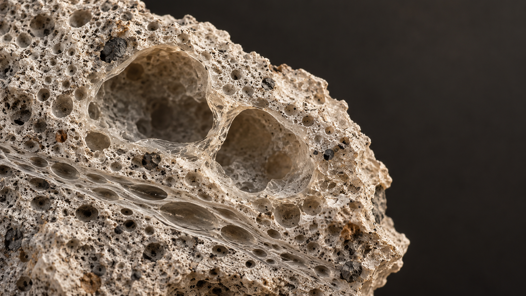
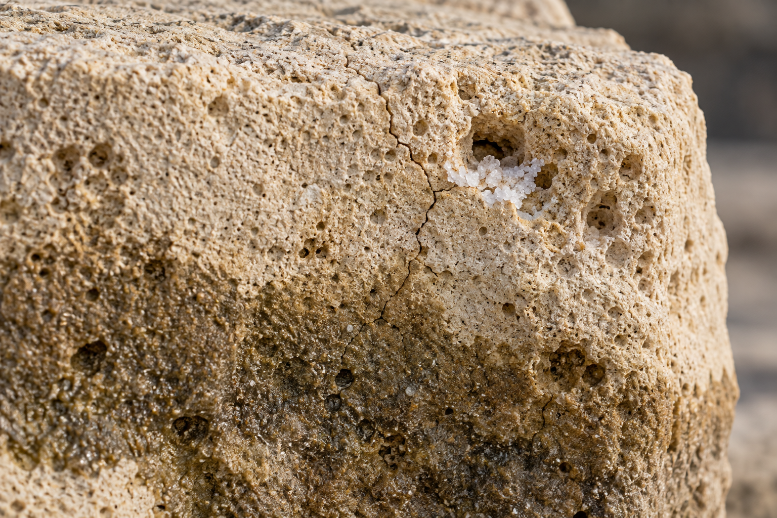
The name for a landscape shaped by dissolution of soluble rock is karst. A limestone field may show outcrops, shallow hollows, a stream that vanishes, or a spring; it may also show little that explains its underground drainage. The essential process is modest in scale at first. Rainwater passes through soil, where carbon dioxide from roots and microbes can dissolve into it. The resulting weakly acidic water can dissolve calcium carbonate, the chief mineral in limestone. It finds joints, bedding planes and pores already in the rock, then enlarges some of them as it flows. The US Geological Survey's account of karst aquifers describes a connected network of fissures, fractures and conduits set in a comparatively less permeable rock mass. That network, rather than an imagined open void under every step, is the better starting image.
Where the rain first goes
The soil and weathered rock just beneath a limestone field are an important part of the story. A shower may infiltrate the soil, run toward an exposed rock face, collect in a shallow depression or enter a crack. The openings closest to the surface are often irregular and partly filled with soil. Geologists call the weathered upper zone of soluble bedrock the epikarst. The term does not mean a continuous sponge with one dependable depth or storage capacity; it describes a zone whose fractures and solution openings vary from place to place.
One set of experiments in southern China shows why the precise shape of a rock outcrop matters. Researchers applied dye and simulated heavy rain to different sides of limestone outcrops, then examined where the water moved. On the uphill side, flow tended to infiltrate more deeply. At the lateral side, more water moved sideways into shallow soil. The soil–rock contact was often a preferred route. These were tests under an imposed storm, at particular outcrops; they are not a general rule that the uphill edge of every limestone block drains down and its side drains across. They show something more useful: a field's small surface details can determine where a raindrop first enters its hidden plumbing.
Dissolution does not proceed at one fixed pace wherever limestone is wet. In a field experiment with carbonate rock tablets, T. Hattanji and Y. Matsukura found that precipitation mattered at a broad scale, while the length of time soil remained water-saturated helped explain local differences in weathering. An older soil-gas study in Germany tested the role of carbon dioxide in limestone solution and found, within its simplified calculations and field setting, that the amount of water actually percolating through the soil mattered more than seasonal changes in soil CO₂. The chemical reaction needs water and dissolved gas, but exposure and flow decide how much rock it can work on. Neither experiment offers a universal clock for carving a cave beneath a field.
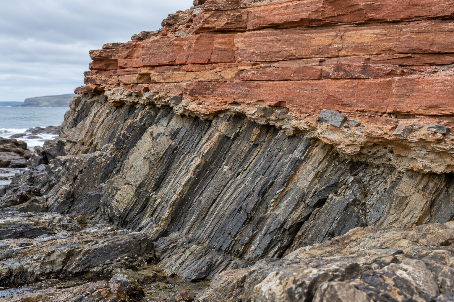
That last restraint matters. A rock can be soluble without disappearing visibly in a human lifetime. Some openings inherit the position of old fractures; others reflect long periods when groundwater levels or drainage routes differed from today's. Looking at a low place in grass does not tell us when a void formed, how deep it is or whether there is a void at all. The landscape is a record of repeated water movements, and a surface view catches only its current top line.
Paths that converge out of sight
Water entering at different points can join belowground and come out at a spring. Conversely, a visible spring may be fed by ground that appears to lie outside its nearest surface valley. The practical way to test a connection is often to introduce a detectable tracer at an inlet and monitor possible exits. The Crumps Cave dye result established a field-to-waterfall route; it did not map every crack along the way or prove that all water in the field takes it.
A larger USGS dye-tracing investigation near Elizabethtown, Kentucky linked sinkholes and sinking streams to springs and wells in a carbonate aquifer. At different discharge conditions, the first detected dye from the same tested routes appeared between 5 and 24 hours after injection; the timing of the dye mass's centre ranged from 6 to 31 hours. Those are measured travel times for that system and those conditions, not a speed limit for karst everywhere. Their significance lies in the variation: the underground route responds to how much water is moving through it. A quiet spring and a spring after rain need not express the same flow regime.
The other surprise from the Kentucky field is that fast water does not automatically mean every dissolved or carried substance arrives at once. The Crumps Cave team monitored the herbicide atrazine after application on the adjacent crop field. Cave-drain discharge rose quickly with rainfall, but the atrazine signal did not rise above its earlier background for nearly two months before a later spike. The researchers interpreted that lag through processes in the soil, including sorption and degradation. The soil was not a perfect filter: atrazine eventually appeared. Nor does this one chemical's delayed breakthrough show that all contaminants are safely delayed. It shows why a limestone field has both quick pathways and places that hold and alter what passes through them. The measured sequence is more informative than calling the whole aquifer either fast or slow.
A hollow is a question, not an answer
At the surface, a rounded depression is often called a sinkhole. That word can hide several mechanisms. Limestone dissolution can create or enlarge openings in rock; overlying soil can settle or be carried downward through those openings; in some circumstances a cover layer can fail abruptly. A hollow in a field is therefore not proof that the roof of a large cave has collapsed directly beneath it.
At one site in Greene County, Missouri, investigators combined electrical resistivity imaging, seismic measurements and boreholes to examine an active sinkhole along a natural drainage path. They found fractured limestone and evidence of near-vertical water movement that could carry soil into the rock. They judged cover subsidence through soil piping to be the main process, while allowing for some local collapse. That is a diagnosis of one site, not a template for every shallow dent in limestone country. It does show why the material above bedrock can matter as much as the size of an opening within it.
Abrupt cover collapse is also real, and its cause can be unusually specific. After the 2020–21 earthquake sequence near Petrinja, Croatia, researchers documented new cover-collapse sinkholes in a small study area with clay cover over karstified carbonate rock. Earthquake loading and local ground and water conditions were part of their explanation. This episode should not be borrowed as a prediction for an unrelated limestone field. It places a sudden failure beside the slower, less theatrical movement of soil documented in Missouri. A similar-looking opening at the surface can have a different history underneath.
Maps help locate where soluble rocks occur, but they leave these local questions open. The USGS national karst compilation assembled geological information to show where soluble rocks make karst possible across the United States. Its broad pattern is useful when beginning an investigation. It cannot reveal whether a particular fence post stands over intact limestone, loosened soil, a narrow crack or a deeper cavity. That requires evidence at the scale of the field: the geology of its beds and cover, the course of its drainage, and sometimes dye traces, imaging or borings.
Return to the Kentucky field and its cave waterfall. The important fact is not the depth alone, striking though 25 metres is. It is the established connection between a place where rain enters and a place where water appears, with a sideways route between them. A limestone landscape has a surface people can read with their eyes and another shape that must be inferred from water, rock and soil. Each good measurement brings a part of that second shape into view. It also marks the edge of what remains unknown.
A thought worth keeping?